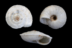
Suboestophora boscae
Zone : Marina Alta
Date : 29/04/2025
Risk Level : 1/3
Cloudy skies, without ruling out light precipitation, except in the south of Alicante. Maximum temperatures decreasing, except in Alicante where they will remain unchanged. Light variable winds tending to easterly, with moderate intervals in the south of Al...
Zone : Marina Alta
Date : 04/2025
Level : Moderate Scarcity
Index : 0.34
A selection of the best hiking routes in the Vall, created by a nature enthusiast.
¡Crea tu propio itinerario! Selecciona un destino, marca un punto en el mapa y comienza tu recorrido a tu manera.
Our selection of the best descents in the area, ranked by difficulty.
Testimonies of the past that tell the history of the Vall de Pop
Data from physical stations installed by Avamet
![]() Click here to view the rainfall accumulation map. We provide data from the AROME model, developed by Météo-France to predict cold drop episodes.
Click here to view the rainfall accumulation map. We provide data from the AROME model, developed by Météo-France to predict cold drop episodes.
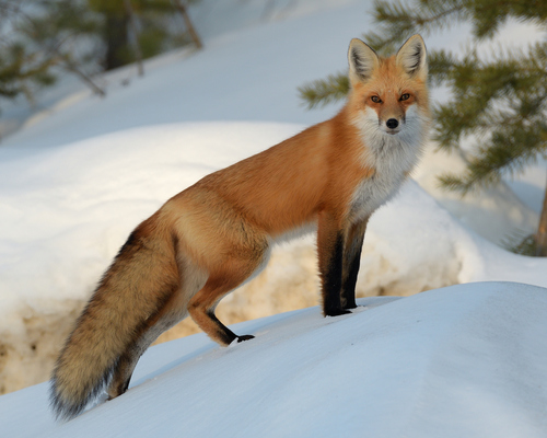
Animals, birds, and plants typically found in the region, which form part of the natural heritage of Vall de Pop.
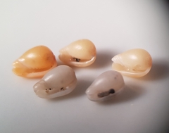
Small marine mollusk with a smooth, glossy shell.
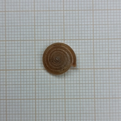
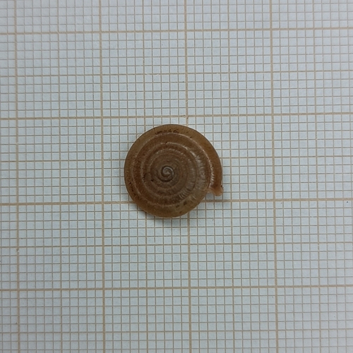
A small land snail endemic to the Valencian Community, Spain.
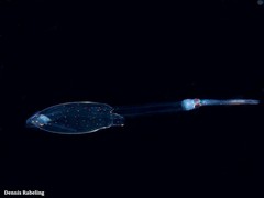
Deep-sea squid with long tentacles and slender body.
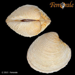
Venus nux is a marine bivalve mollusk with a rough, nut-shaped shell.

Small marine snail with a conical shell, found on rocky shores.
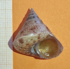
Marine mollusk with a conical, granulated shell, showcasing varied colors.
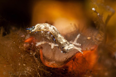
Camachoaglaja africana is a marine mollusk with vibrant colors and an elongated body.
Xerocrassa barceloi is a small land snail endemic to the Balearic Islands.
¡Descubre las fiestas y la cultura de los pueblos de la vall! Los datos proceden de valldepop.es
Otros cambios notables de nuestro paisaje.
Utiliza los controles de la derecha del mapa para alternar entre el mapa de 1956 y el actual. ![]()
El abandono de los campos ha permitido que algunos de nuestros bosques recuperen terreno, aprovechando el acceso al agua que traen los bancales.
La proliferación de la caña en los ríos está afectando a los ecosistemas locales y desplazando la vegetación autóctona.
Las canteras tienen un impacto significativo en el paisaje, alterando la topografía natural y dejando cicatrices visibles en el entorno.
Las embalses alteran el flujo natural de los ríos, modifican los ecosistemas acuáticos y transforman el paisaje circundante.
70 años separan el mapa de 1956 del actual: siete décadas de construcción y destrucción.
Utiliza los controles de la derecha del mapa para alternar entre el mapa de 1956 y el actual. ![]()
A unique journey through the history, culture, and beauty of the Vall de Pop.
Let yourself be carried away and rediscover the Vall with our collection of amazing photos, immersive videos, 360° panoramic views, and spectacular aerial shots.
More content you might be interested in
Distributed under the license Creative Commons BY-NC 4.0